Hydroacoustic Data Analysis for Freshwater
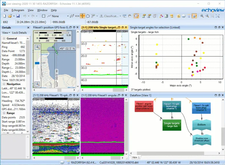
As the world’s most comprehensive, flexible, and trusted tool for hydroacoustic data processing in freshwater environments, Echoview saves you time by helping you create repeatable, robust, and automated methods to quantify fish in your acoustic data.
Echoview supports the most commonly used instruments for freshwater fish hydroacoustic assessment, from imaging sonars to split-beam echosounders, and can accommodate virtually any configuration on mobile or stationary platforms.
Please get in touch to learn how Echoview can help you with your freshwater acoustics research!
Freshwater stock assessment
Stock assessments are critical for the management of freshwater resources.
Echoview was designed for this purpose, supporting most commonly used echosounders and providing an unrivalled number of powerful yet easy-to-use tools for transforming your hydroacoustic dataset into biomass metrics.
Fish passage and behavior
Echoview allows you to rapidly and consistently detect individual fish in your data, as well as track these fish as they pass through the acoustic beam. This is ideal for any number of freshwater applications, including:
- quantifying fish migration and biomass
- understanding the distribution of fish in lakes or rivers
- monitoring the effects of changes to the freshwater environment (man-made or natural) on fish behavior/movement
- characterizing fish behavior near structures (e.g. pilings, dams, power plant intakes)
- monitoring fish passage rates at man-made or natural obstacles
Data processing in Echoview can be carried out in near-real-time (for selected hardware), or as post-processing for data already collected.
Echoview is flexible enough to work with virtually any echosounder setup, including fixed or moving platforms, and can be automated to facilitate the processing of bulky or long-term datasets.

Habitat Classification
Echosounder measurements from the bottom (whether seabed, lake bottom, or riverbed) can provide information about the nature of that substrate (e.g. hard/soft, rough/smooth, sand/gravel, etc.).
Echoview includes algorithms that can be used to identify areas with different bottom types, visualize these classifications, and synchronize this information with hydroacoustic data from the water column. Echoview can also detect the boundaries of submerged vegetation, and then output metrics that describe the vegetation.
Echoview's tools provide a convenient and powerful way to objectively describe the bottom, and help you to understand its role as habitat for aquatic organisms.

